
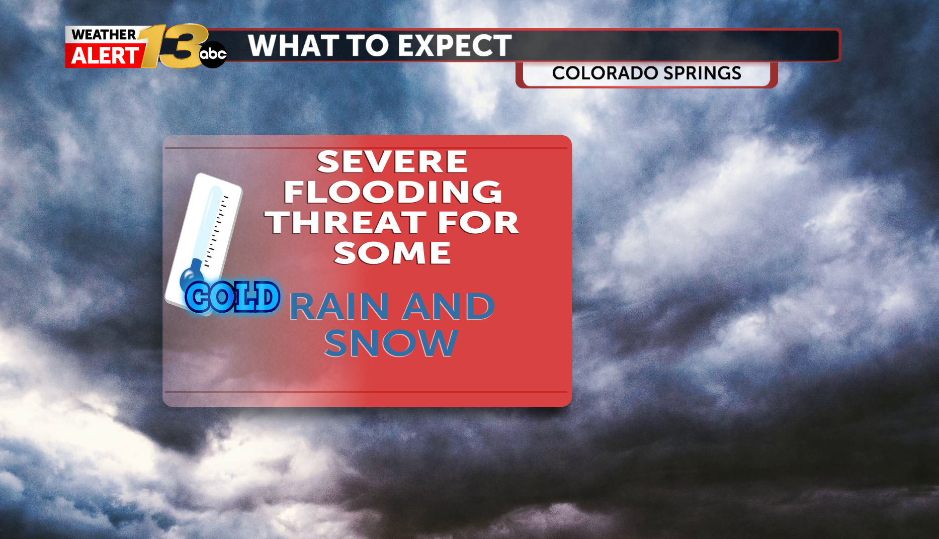
We can expect showers and thunderstorms throughout Southwest Colorado all day Sunday. This rain will bring a threat of dangerous flooding to the southwestern areas. Flood Watches are in place for the upper Rio Grande Valley and San Juan Mountains. Some spots in the southwest are already under flood warnings, including the San Juan River at Pagosa Springs. This river flooding is a particularly dangerous situation. Historic rainfall is possible in this area where the forecasted crest of the river is suppose to reach 19.71' with the record being 17.8'. That's higher than what we saw last week when we had all the flooding.
Areas in the San Juans above 10,000 feet elevation are under a Winter Storm Warning until 11 am Monday with 8"-14" possible.
Colorado Springs is expected to get rain after 4 pm with a good chance of thunderstorms after 6 pm. Teller County is also expecting showers for now but as we head into Monday snow levels drop impacting Woodland Park.
On Monday highs will climb into the upper 50s. Snow levels will fall throughout the day and could drop to 7,000 feet by the late afternoon and evening. Western high country is getting scattered snow all throughout Monday morning. Teller County will likely begin to get some snow showers starting around 8 am. Parts of Northern El Paso County like Monument Hill could see some snow mixing in with the rain on Monday afternoon as snow levels drop.
Scattered thunderstorms move into El Paso County by the lunchtime hour.
Things dry out for Tuesday with sunny skies and cool temperatures. Highs will climb into the upper 50s.
The post Severe flooding threat in Southwest Colorado with rain and snow appeared first on KRDO.


